Richard Slocock: September 1951 – January 2024.
I’m very sad to say that my good friend Richard Slocock died peacefully at home with his family on Saturday January 13th after battling with cancer for several months. For me Dorset will never be the same without him. One of my best friends and mentors is no longer there to brighten my visits with a “What-ho, Chuck!” and a natter.
I first met Richard – I can remember the day vividly – in the autumn of 1987. I had left university and was teaching Art in Dorset. My head of department, Rob, was also a fly fisherman. We soon became known as the fishing department and keen not to let our reputation falter, Rob took me one afternoon – after we’d ushered all those pesky students outside – to fish in Richard’s lakes at Tolpuddle. Heavy rain had flooded a lake Richard called the Oxbow (it was on a former bend in the river) and a few rainbow stockies had escaped. Instead of fishing the lake, Richard suggested I drag a lure through the pools of the River Piddle and see if I could recapture the escapists. I had the best afternoon ever, tempting bow-wave attacks from naive stockies in a stream I could jump over.
It was the first time I’d cast a fly on a chalk stream and though my tastes have refined over time (wild trout if at all possible!), it was Richard who planted the chalk stream seed. Over the next few years we became firm friends. I loved teaching Art, but was occasionally bored by the whole business of explaining how to mix green or looking for the scissors and so when I could, I escaped to a river and wondered how I might one day combine my passions for rivers, writing and art in what might pass for a career. Often that river was the Piddle at Richard’s place, where I would cut the ranunculus with him and then afterwards we would chat in his kitchen over a cup of tea or a lager.
Richard had himself taken a sharp turn in the road of his career. He’d studied Agriculture at Christ Church, Oxford (exactly where I went to read Fine Art fifteen years later) and started down the road of farming on land he bought with his father and brother, in Dorset. There he started a family with his lovely wife Sally, but it was perhaps too small a parcel to really make the business really work. So, Richard got rid of the sheep, excavated some lakes, opened a fly fishing school and never looked back.
I could pretty much cast a fly by the time we met, but even so he gave me a few good tips from time to time. He was effortlessly skilful with a fly rod and quite the all-round sportsman. We both played golf with inconsistent skill. Richard’s excuse was a set of hickory blades of great vintage: even so when he caught them right, the ball just flew. His grandfather had captained the English rugby team and was a pretty handy cricketer too and most of the sporting genes had made their way down to Richard. He would stand on the lawn with his new pupils – including my wife Vicky once – tie the rod butt to their wrist and within the hour they’d be laying out the most elegant line you’d ever seen. Hundreds of novice anglers must have found their way to a lovely pastime through Richard’s passion and patience.
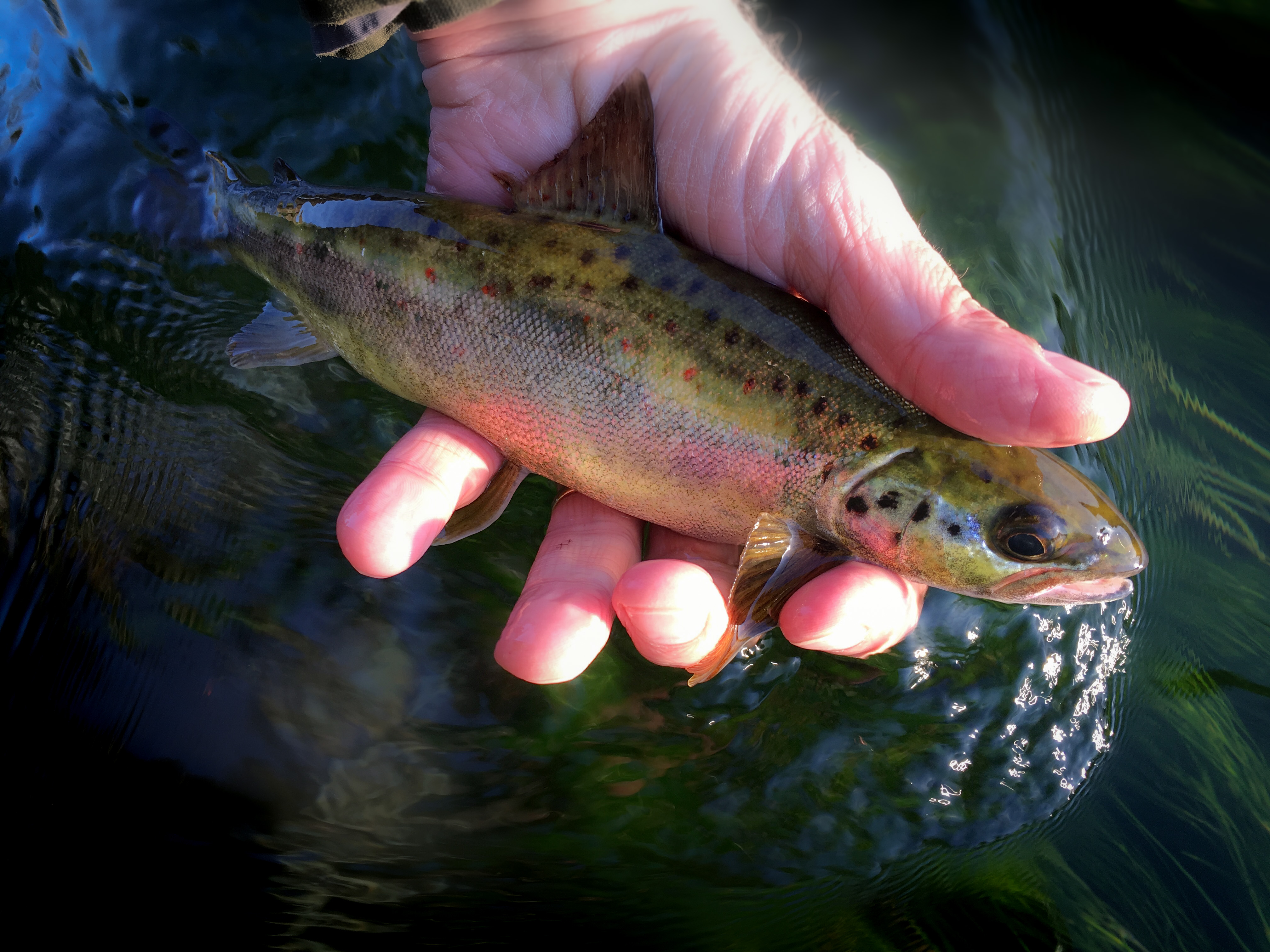
Through the early years of our friendship the chalk streams were in a really bad way, although Richard’s were better off than most. He kept his beats wild and fenced off from the hordes of cattle that populated EU-subsidised pasture land in the 1980s; and he was a pioneer of wild-trout, catch-and-release fishing at a time when the world was marching in the opposite direction, increasingly relying on stocked fish as river habitats were being decimated. It is hard now to appreciate the radical nature of Richard’s chalk stream management at a time when the River Test was dubbed ‘the longest stew pond in Europe’.
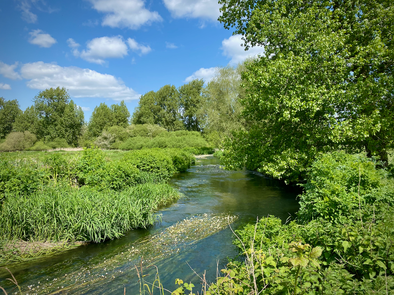
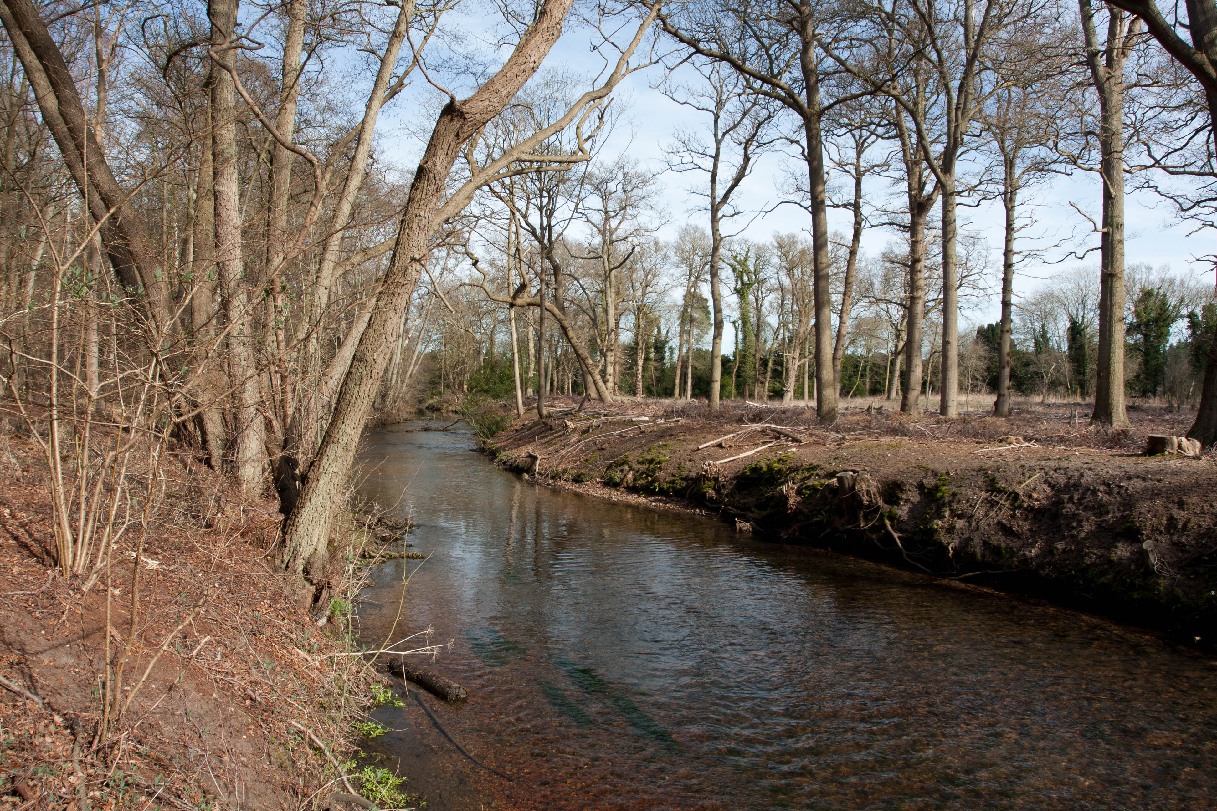
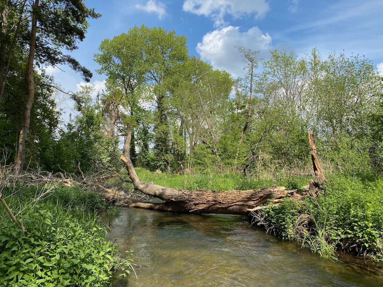
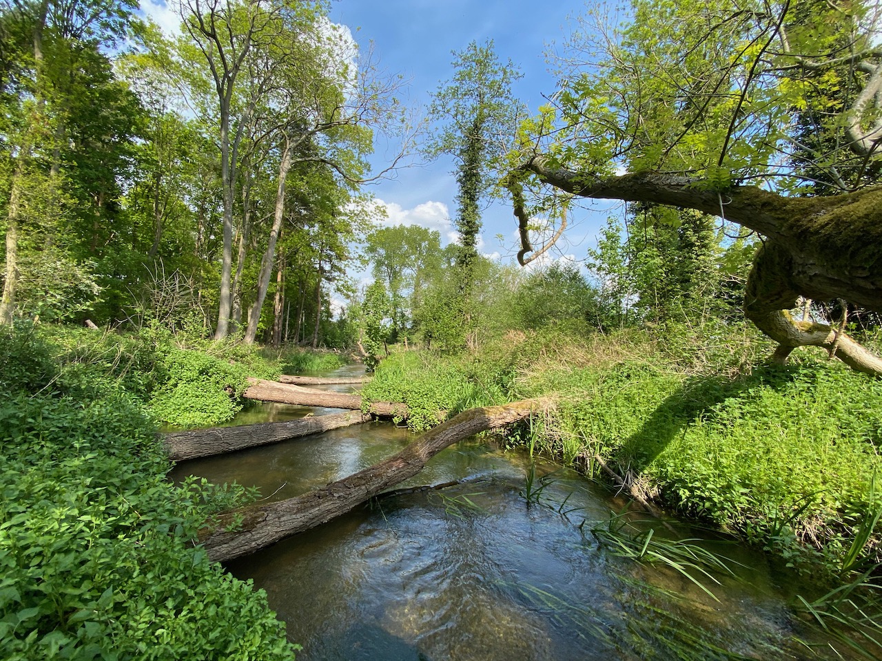
Abstraction and dredging were rife on the chalk streams and Richard took a stand against both, catalysing investigations and eventually significant abstraction reductions on his beloved River Piddle. It took him years to battle and win the fight with Wessex Water, but eventually they turned down the pumps in the headwaters, halved the abstraction and installed mitigation flows in the middle river. The River Piddle has not dried since. It is one of the few notable chalk-stream recovery stories since the dark days of the 1980s and is now a shining example of what a wild chalk stream should be like. We have Richard to thank for that.
The year I moved from teaching in Dorset to teaching in Scotland – 1995 – a particularly deep drought reduced many of Dorset’s chalk streams to a trickle. The River Tarrant near where I lived in Blandford simply vanished into the ground. Richard came over and helped me and a heavily pregnant Vicky rescue trout with nets I had borrowed from the NRA. We put them in bins of water and ferried them down to the main River Stour.
Then, in early July, Richard and I left Dorset behind and went on a fishing holiday to Ireland, to a little limestone stream called the Awbeg. Apart from the forever funny memory of Richard annunciating his name “Slow Cock” to a blushing post-mistress, who crossed herself furiously as she wrote out his fishing licence, I also remember vividly that we could hardly believe the contrast between the drought-stricken chalk streams we had left behind and this spring-fed Irish stream, brim full in spite of the drought, extensively grazed and therefore unfenced, full of trees and tangles and wild fish everywhere. Most amazing of all were the complex and abundant hatches of insects. Something the chalk streams were famous for, but which we never saw anymore. We knew that Ireland had had its issues with dredging too, but the Awbeg seemed to have escaped them and was showing us just what was possible when the habitat is right, and there is enough water for nature.
Over the next few months we hatched a plan to coalesce the efforts of Richard, and a few others we knew who had also become fed up with ersatz fisheries, stocking, over-abstraction and intensive agriculture, and together form a society to champion the very opposite. We wrote to Trout Unlimited but soon realised that a UK chapter was not the answer. So, we came up with our own ideas and in 1997 launched the Wild Trout Society, which would later become the Wild Trout Trust.
All the early meetings were held at Richard’s place in Dorset. Mike Weaver agreed to chair our group. Ronnie Butler, Ron Holloway, Roger Mills and myself formed the hardcore. Friends called us the Powder Keg Society, so revolutionary were these ideas to a new Environment Agency that hadn’t yet fully embraced the idea of river restoration, to a water industry still in denial over the impact of abstraction and to a Salmon and Trout Association that was a wee bit club-tie-and-sherry to our disruptive beer-and-wellies. Throughout this all, Richard kept a steady hand on the tiller with good-humoured wisdom and diplomacy.
In later years he became the chairman of the Wild Trout Trust, with Simon Johnson as director, and steered the trust through a crucial, formative phase as it evolved from a seat-of-the-pants amateur outfit, to a more professional incarnation with multiple employees, grants and a heavily-in-demand offering of expert advisory visits and practical demos. The project officers came on board during Richard’s tenure and he very much guided the creation of the Wild Trout Trust that exists today.
For a while, after we moved back from Scotland, Richard and I worked closely together on those streams in Dorset, as I started eking out a freelance living from an eclectic mix of letting fishing and writing for magazines. Then my mother died too young – meaning I know all about the pain his family are going through now – and we had to move home to Norfolk. Vicky remembers our very young son Patrick shortly after the move spotting a stranger walk down the hill in Hunstanton and mistakenly squealing ‘Richard!’ with such delight it rather underlined what we were missing. But we weren’t going to find anyone like Richard in Norfolk and over the past 25 years I have gone back to Dorset every May to fish and to catch up on the gossip.
Richard was a great father, to Katherine and Niff, and grandfather to Jack, Archie, Molly and Harry. He was married to Sally for 50 years. I have got to know his family very well over the decades and can remember his daughters from when they were very small. They both sent me messages over the last few days through which it became obvious that I wasn’t going to see Richard again.
He had had a nasty run-in with a prostate tumour and had just got over it when the doctors found something else. He told me in November that it was terminal this time, but with a mix of sang-froid humour and realism and a complete absence of self-pity. None of which surprised me at all.
I tried to go and see him in December, but didn’t plan it properly and Richard was out shopping in Yeovil: a recent convert to the niche business of collecting silver nik-naks, he had decided he might as well get some of those silver spoons and creamers he’d never quite allowed himself. Then I caught some dreadful lurgee over Christmas and we had to stay away. He told me he had found an expert in London who could probably give him a chunk of extra time which, Richard said, he wouldn’t have minded having, all things considered. And so, I hoped I would see him in May as usual. Then he caught Covid and suddenly the letter I had wanted to send him by post – he loved a handwritten letter – had to be sent by email and in a hurry. I reminded him of all the fun times we had shared. I hoped it would made him laugh.
And that was that. As if by the proverbial wolf in the night Richard was swept away. He was with his loving family at the end and as much as one can go well, Richard managed it.
Dear Richard, or Cock o’ the Pidd, as you signed yourself, I am going to miss you like hell. I do hope they aren’t abstracting the rivers wherever you are. And that the sea trout runs are abundant. And the lager is at least as strong as Londis’ own-brand special-brew, the tongue-tangler. The chalk streams – and I – owe you a great debt.