Plan to protect and restore precious chalk streams formally launched at chalk stream conference
- Actions to protect and enhance chalk streams discussed at today’s chalk stream restoration conference
- Event held to support delivery of the CaBA Chalk Stream Restoration Group’s Chalk Stream Strategy
- An Implementation Plan, formally launched at event today, will showcase progress and highlight areas requiring further action
Ongoing and future actions to protect and restore our nation’s chalk streams were the theme of a major event held in London today (Thursday 15th June), hosted by the Catchment Based Approach (CaBA) Chalk Stream Restoration Group*.
Attended by representatives from government, regulators and environmental groups, the conference was held to drive forward the implementation of a national strategy to restore our chalk streams to good ecological health.
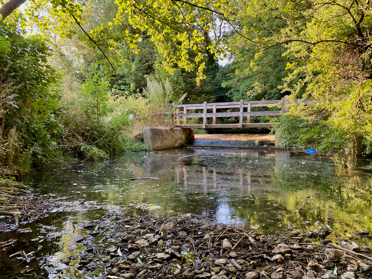
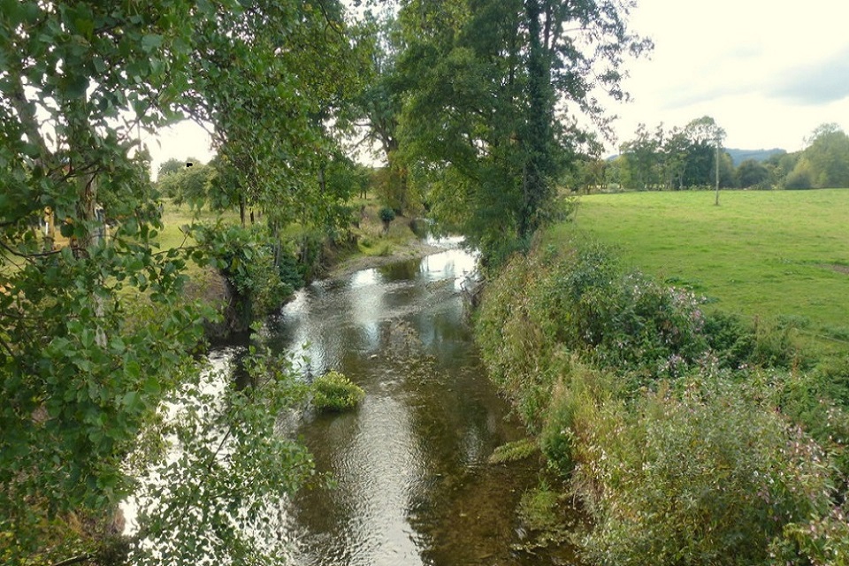
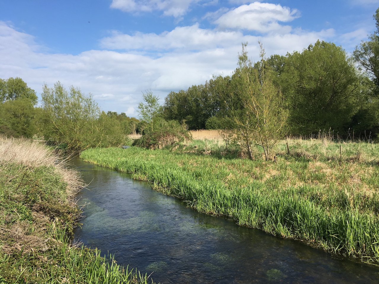
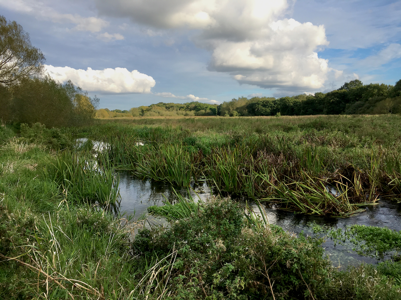
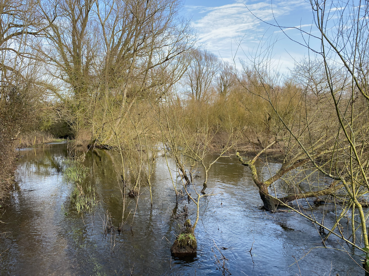
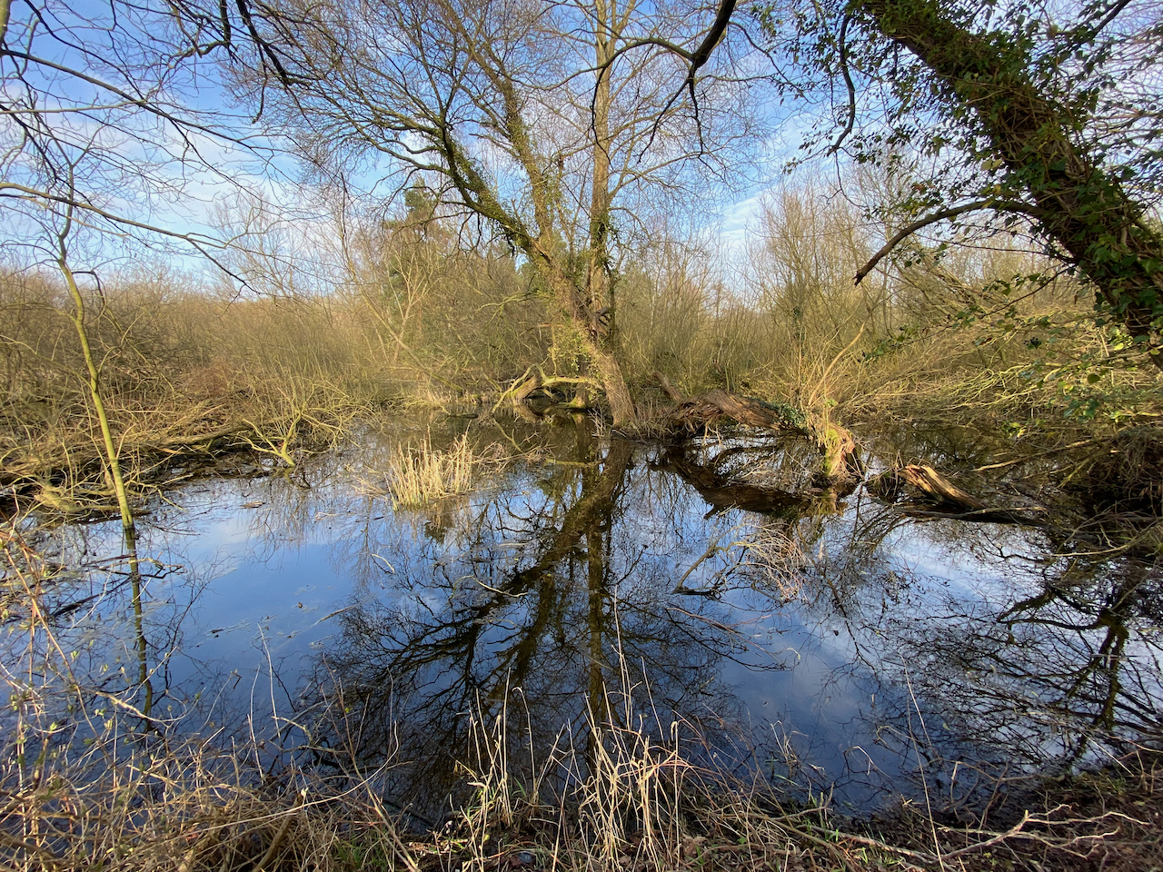
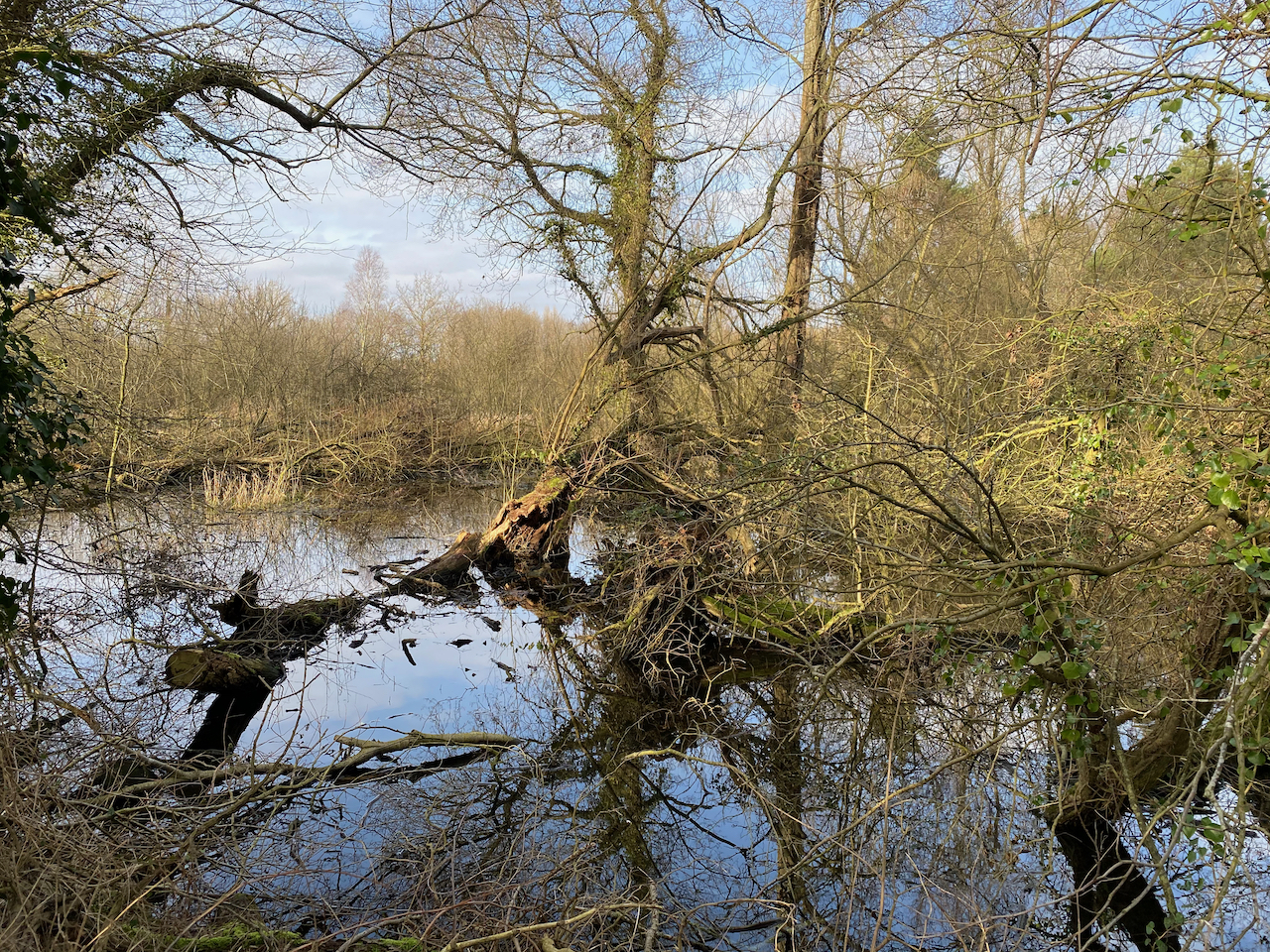
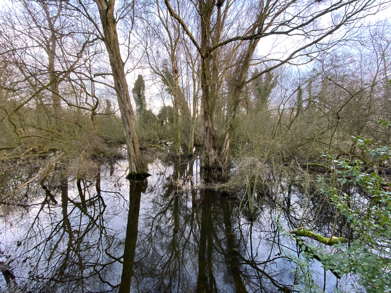
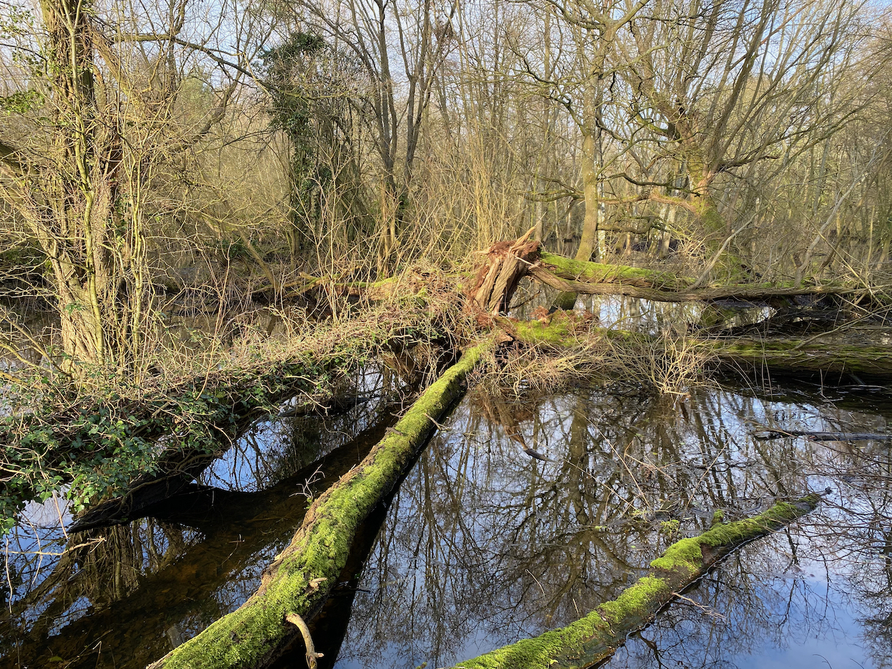
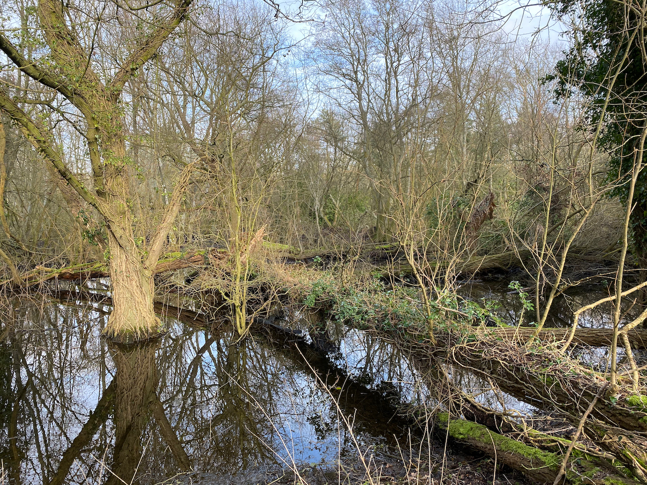
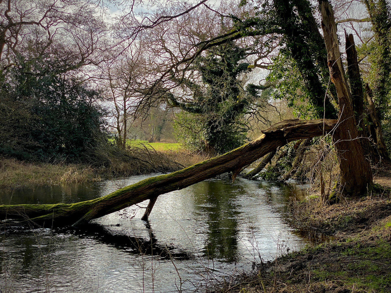
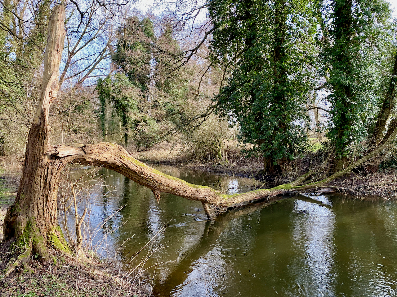
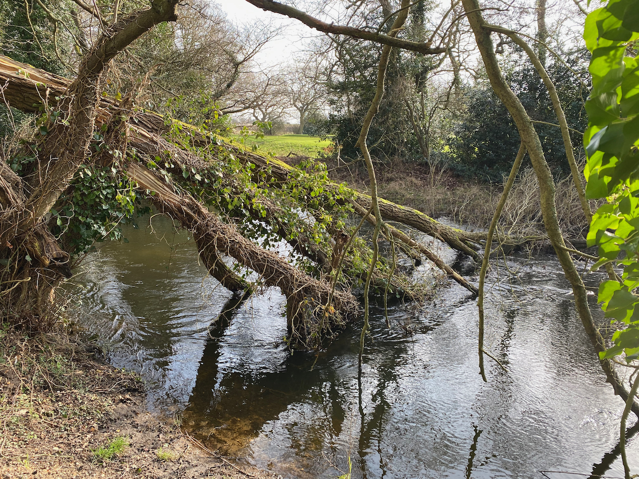
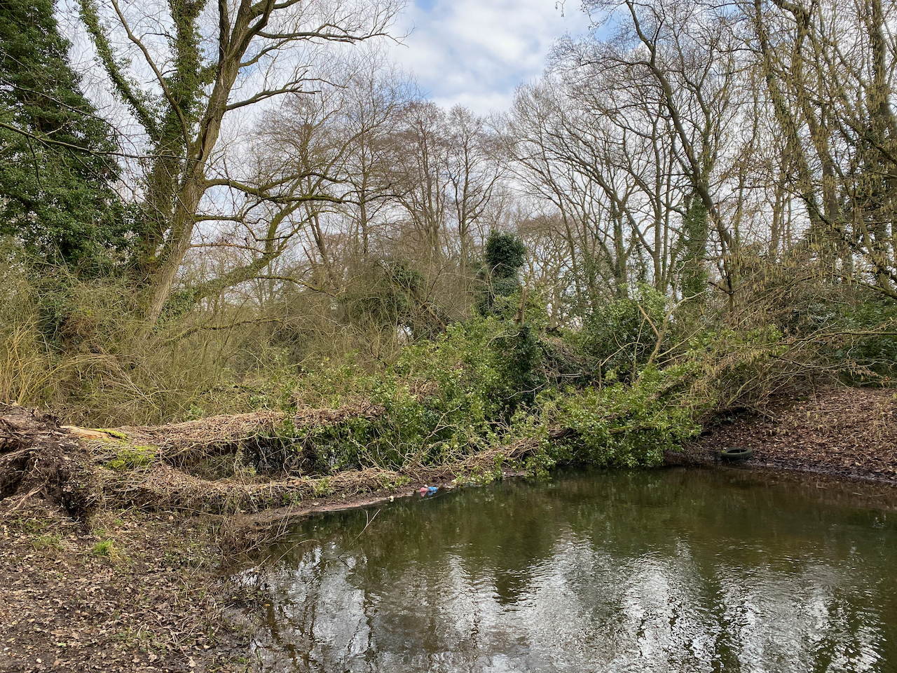
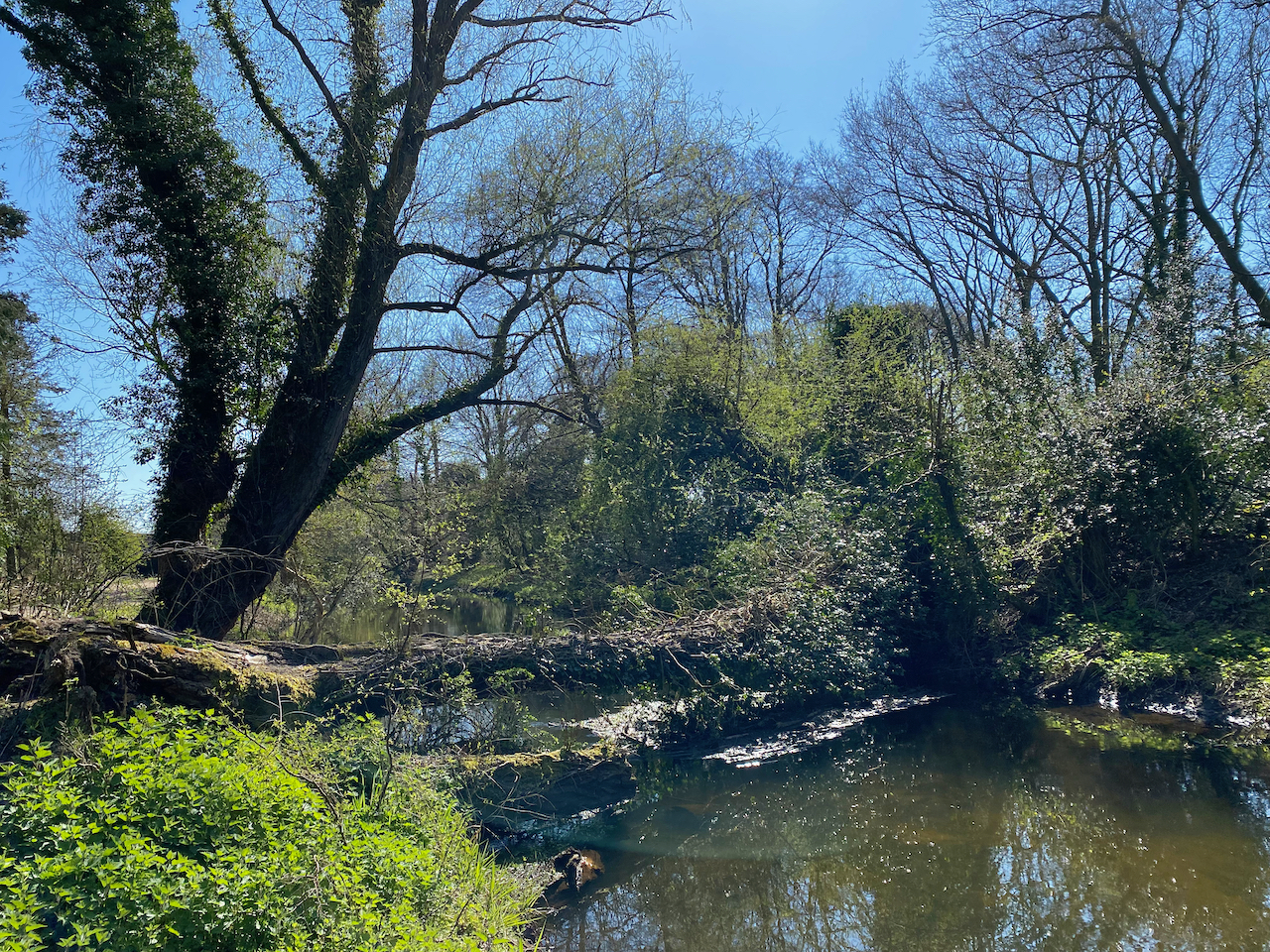
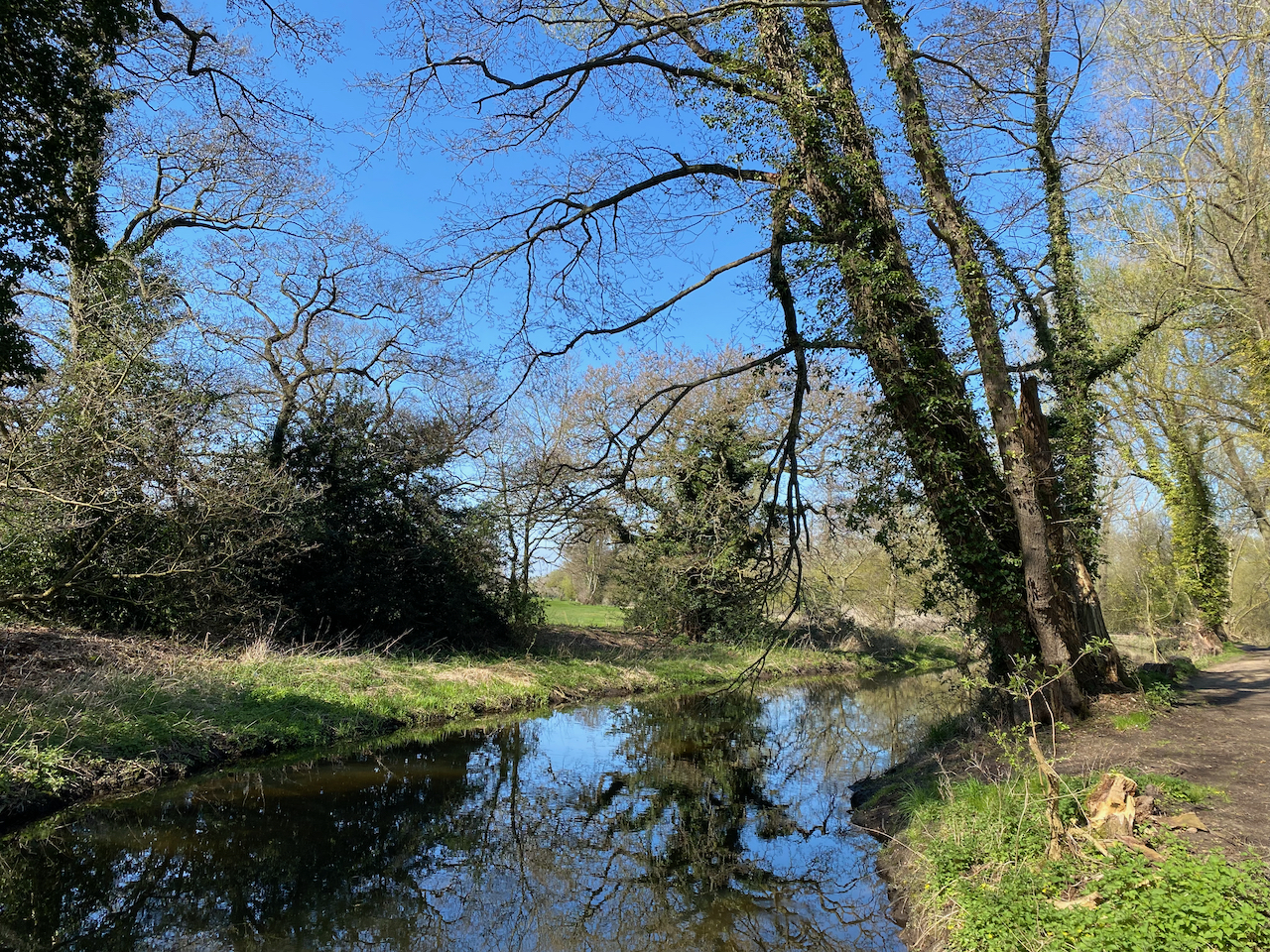
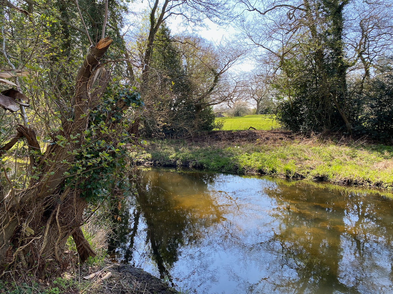
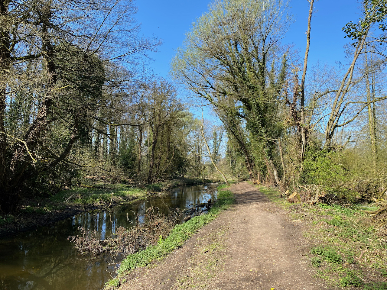
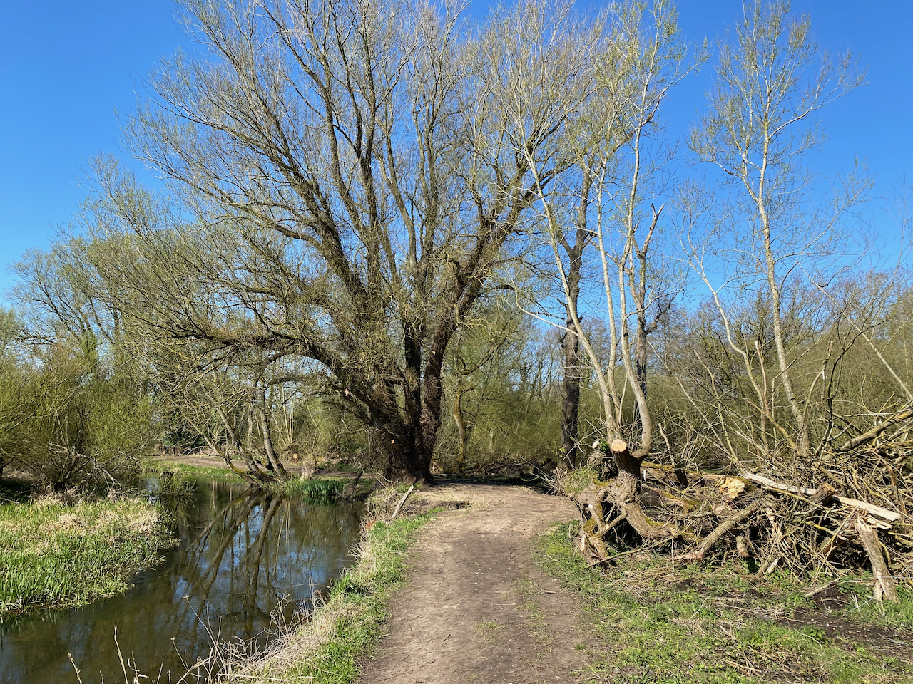
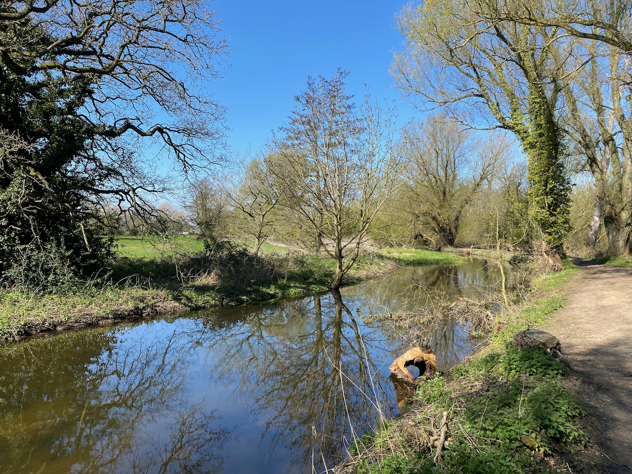
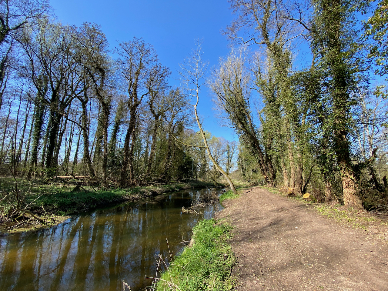
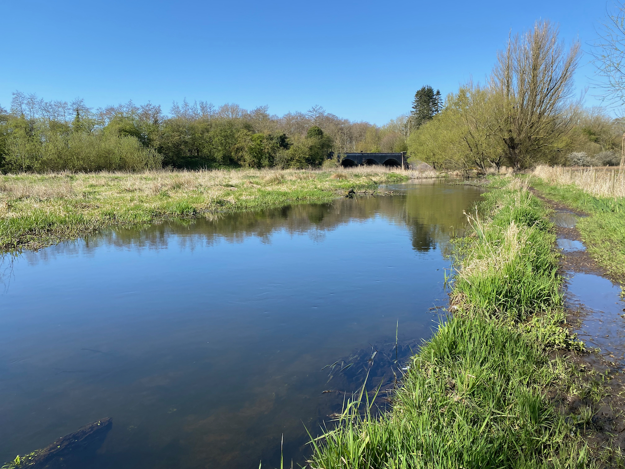
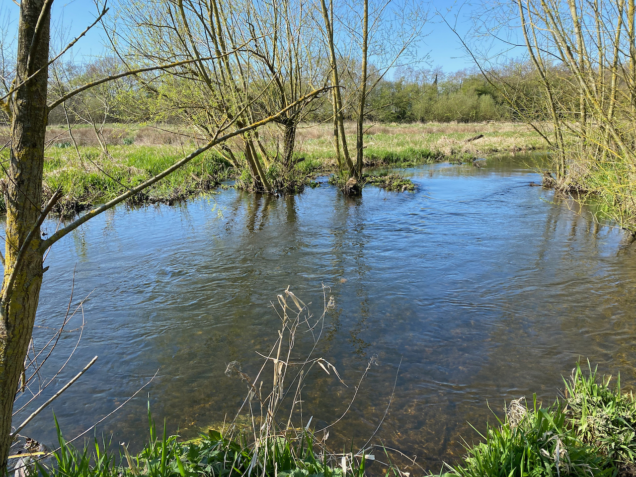
Chalk streams are a globally rare and valuable habitat, often referred to as England’s rainforest or Great Barrier Reef. 85% of all chalk streams are in England, mainly in the south and east of the country.
Containing more than 30 recommendations relating to policy, regulation, investment and planning, the Chalk Stream Restoration Group’s Chalk Streams Strategy addressed pressures within the framework of what the group defined as the “trinity of ecological health”, namely: water quantity, water quality and physical habitat quality.
The recommendations addressed such issues as:
- water abstraction through prioritised planning, infrastructure investment, water transfers and demand management;
- diffuse and point-source pollution through prioritising reductions in harmful sewage spills, re-setting cost-benefit assessments to weight investment towards headwaters; and addressing agricultural run-off;
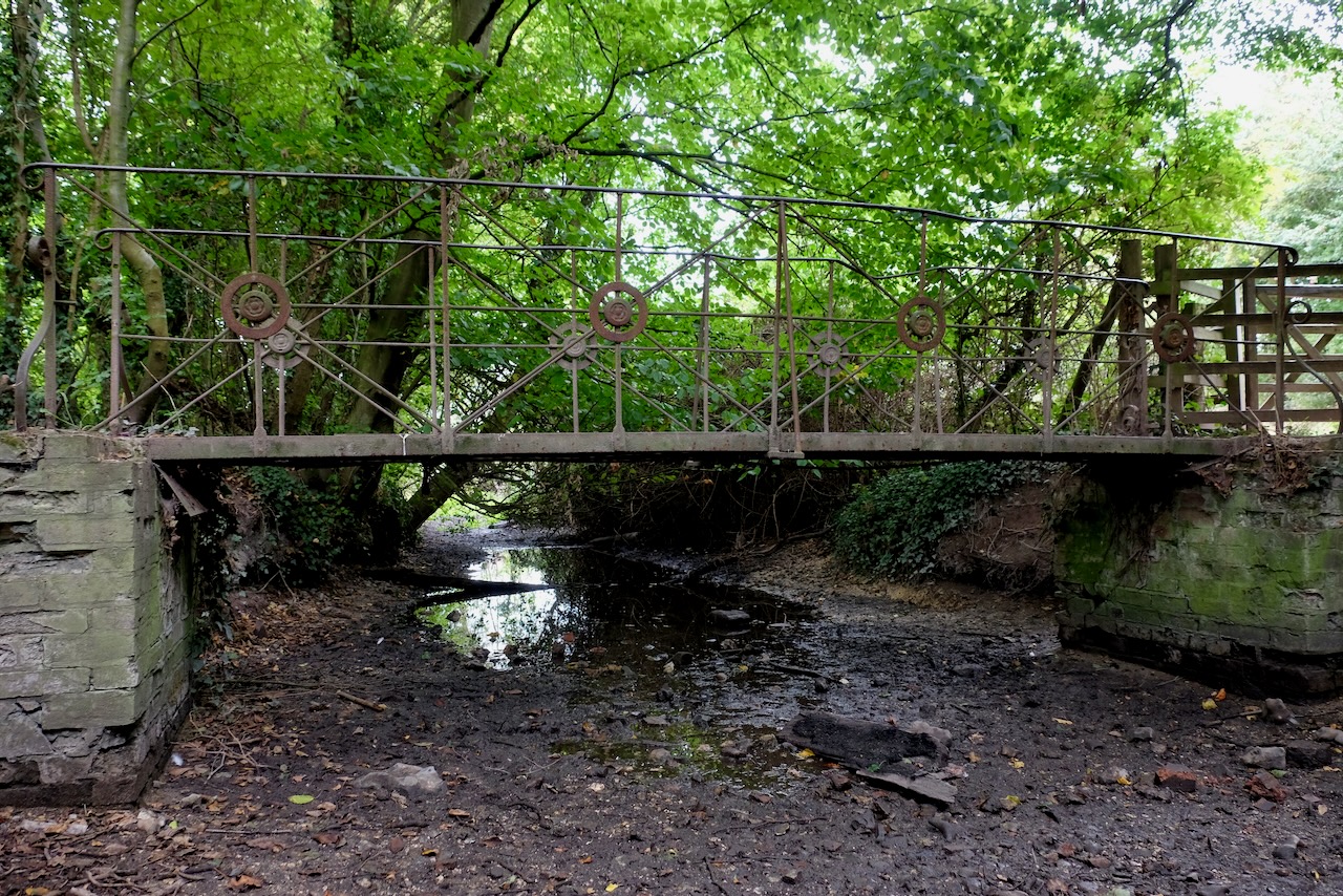
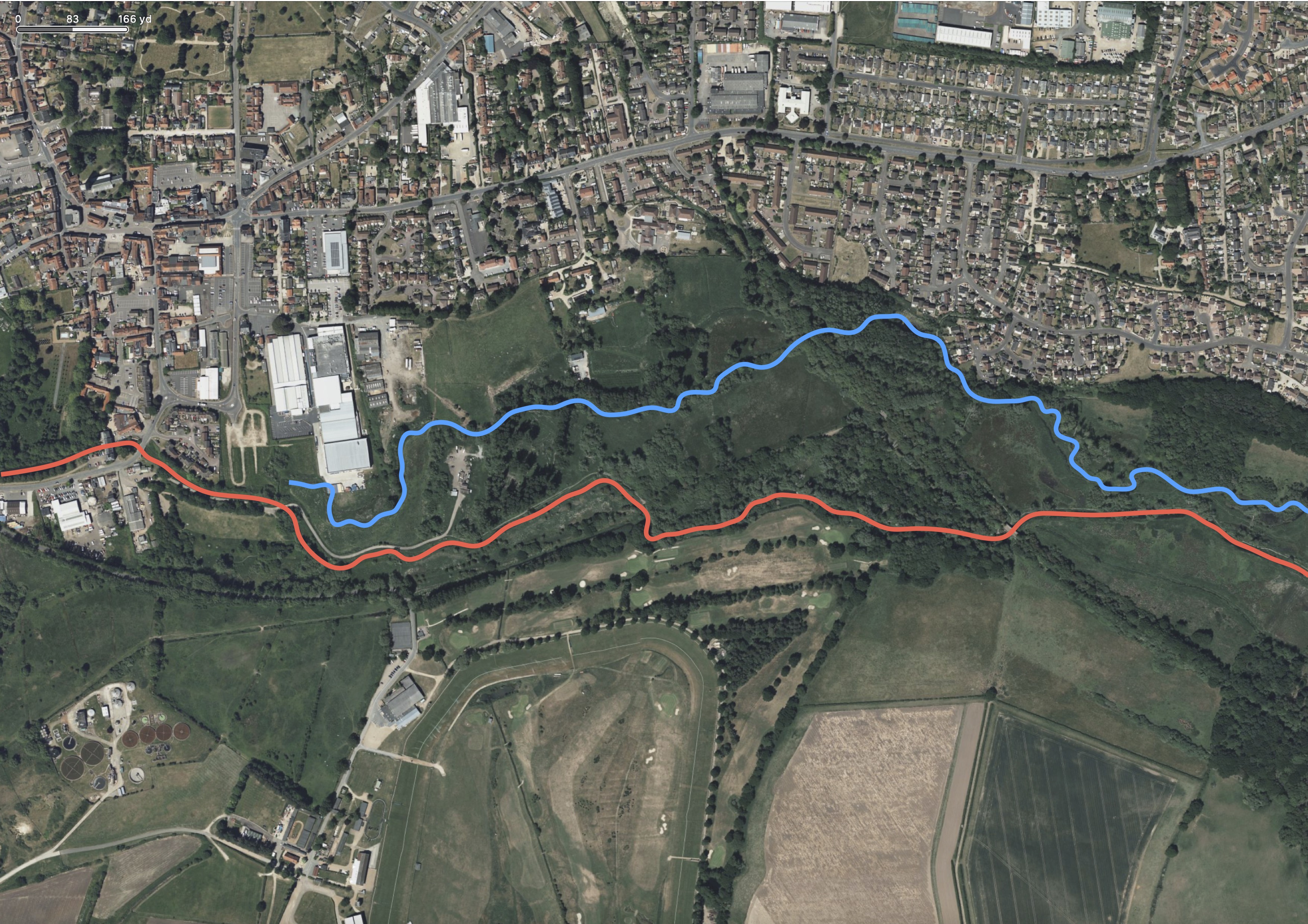
- physical habitat modifications like dredging and weirs via process-based physical restoration on a landscape scale, through – for example – the restoration of river meanders and the connection between the stream and the floodplain.
The group identified the lead partners under each recommendation and tasked them with developing a timetabled plan for the delivery of that recommendation. That Implementation Plan, formally launched at today’s conference, will be updated regularly to demonstrate progress and to highlight areas where more needs to be done.
Chair of the Chalk Stream Restoration Group, Charles Rangeley-Wilson, said:
“There have been action plans in the past and they have helped to drive small improvements. But this is the first time a call-to-arms for our country’s beautiful and globally rare chalk streams has been agreed between all parties – regulators, industry and environmentalists – and the first time a way of holding the plan to account has been built into the process. There is no Damascene moment in river restoration: if undertaken with serious intent it must be seen a multi-decadal undertaking. This Implementation Plan marks a step-change in collaboration and planning in river restoration.”
Progress made to date and reflected in the plan includes:
- Prioritisation of chalk streams in the National Framework for Water Resources – the forum wherein environmentally-focused abstraction reduction decisions are made. The Framework encourages water companies to open up new infrastructure to reduce reliance on chalk aquifers.
- Protections for chalk streams from sewage pollution through the designation of all chalk stream areas as high priority sites under the government’s Storm Overflow Discharge Reduction Plan. By 2035, water companies must improve 75% of overflows discharging to high-priority nature sites, including chalk streams. Moreover, the government’s Strategic Policy Statement for Ofwat makes it clear that water companies must make tackling pollution incidents a high priority.
- All water resource regions dependent on chalk-aquifers are now designated by default as water-stressed. This enables water companies to introduce wider water metering programmes where it is shown within their Water Resources Management Plans (WRMPs) that there is customer support and it is cost effective to do so.
- A national programme of flagship chalk catchment restorations, launched by water companies and driven by local communities. Scoping plans have been completed, whilst stakeholder engagement and catchment strategies are underway. Strategies for the programme are due to be published in early 2024.
- Investment of more than £1.5 million by the Environment Agency to support 53 chalk stream restoration partnership projects nationwide. Over the next year, the Environment Agency will contribute a further £1 million for 32 chalk stream projects with partners, including a river restoration scheme on the River Lark in Suffolk and a project to tackle low flows on the Upper Darent in Kent.
- Inclusion of modelling and investigation based on the Chalk Streams First proposal for re-naturalising chalk stream flows in the Colne and Lea catchments in Affinity Water’s WRMP
- A fully-funded (by Anglian Water) Southampton University PhD researching the pre-anthropogenic conditions of chalk streams in order to better inform future restoration efforts.
- The need to understand climate change impacts is highlighted in a collaborative research reporton chalk streams from Nottingham Trent University and the Environment Agency. This report presents evidence examining the effects of climate change on biodiversity in chalk streams, with the aim of informing the decisions that will support biodiversity in chalk streams.
As part of their Plan for Water, the government has committed to:
- Increase investment into restoring chalk catchments – working with the Environment Agency to leverage £1 million investment in partnership projects each year starting in 2023
- Address the impact of agricultural pollution on chalk streams by considering chalk streams in the development of its Environmental Land Management schemes
- Review the impact of private sewerage systems on chalk streams
- Set up a new Water Restoration Fund, using money from water company fines and penalties – taken from water company profits, not customers – to support local groups and catchment projects like re-meandering rivers and restoring habitats.
Minister for Environmental Quality and Resilience Rebecca Pow said:
“Chalk streams are both incredibly rare and a hugely important part of our environmental heritage – a true jewel in the crown of our environment. This Plan will help drive forward collective action across government, regulators, community groups and other key partners to protect and enhance them.
“Our Plan for Water sets out how we are taking a catchment-based approach to improve the water system, delivering increased investment, tougher enforcement and tighter regulation. Together, this will take the decisive actions needed to make a real difference for our chalk streams – now and for future generations.” Chair of Natural England Tony Juniper said:
“From the Gypsey Race in the Yorkshire Wolds to the Isle of Wight’s Lukely Brook, we are incredibly fortunate to have so many of the world’s precious chalk streams right on our doorstep.
“They are however facing numerous threats – from over-abstraction to pollution to physical modification. Addressing these through innovation and working in partnership through the Chalk Streams Restoration Group, we can not only improve the state of our chalk streams but unlock progress for broader Nature recovery too.” Chair of the Environment Agency Alan Lovell said:
“England is home to 85% of the world’s chalk streams and we have an enormous collective responsibility as custodians of these unique ecosystems.
“In partnership with local communities, the Environment Agency is investing millions in chalk stream restoration projects across the country to foster more sustainable abstraction, tackle pollution from agriculture and the sewage system, and restore more natural processes. Working together, we are focused on delivering a step change in the condition and prosperity of our chalk streams.”
Chief Executive of the Rivers Trust, Mark Lloyd says:
“Chalk streams are globally rare and nearly all of them are in England. It’s our responsibility to halt their degradation and restore them to good health as fast as possible. I hope this plan represents a turning point for these magical rivers. It’s also an exemplar in collaborative working and greater accountability, with important lessons for how we could all work together better on other rivers as well.”
Chair of Blueprint for Water, Ali Morse says:
“Our world-famous chalk streams are on their knees due to farm pollution, sewage and excessive abstraction. So this implementation plan should be considered a report card, used to hold to task those who must act to tackle the demise of these quintessentially English rivers. While much action is underway – and this should be congratulated – public patience is running out. Delivering against this plan is an opportunity for all parties to demonstrate that they’re serious about chalk streams, and about securing a future for the wildlife that calls these rivers home”
*The launch event, held at Watermen’s Hall has been generously sponsored by The Fishmonger’s Company.
Notes for Editors
- The Catchment Based Approach is a forum for all stakeholders to come together and agree a way forward for the conservation and restoration of rivers and catchments.
- In October 2021, after more than 12 months of research, discussion, and consultation with experts and stakeholders the CaBA (stands for Catchment Based Approach) Chalk Stream Restoration Group (CSRG) published a national strategy for the restoration of the country’s chalk streams to good ecological health.