Pinged to my Instagram feed one day after my last post, here’s a great example of how Paul Powlesland’s exemplar have-a-go river heroism could quickly go wrong when the heroes don’t know what they don’t know.

Here a farmer and local politician speaks on behalf of the residents of Exford arguing that the channel through the town should be stripped clean to prevent flooding. Other posts of his expand on the theme also show very well intentioned concern but a slightly misfiring understanding of what really causes flooding. As do the comments.
Of course rain can skim off Exmoor in a terrible hurry, so I get the concern. But the ability of a channel to handle water in a big flood has much more do with its capacity to convey flow than its capacity to hold volume. The rain comes down so fast that it will fill any volume you give it, if it can’t get away fast enough.
The easiest way to understand this is to think about flood water as traffic: if there’s an accident that closes all but one lane of the southbound M3 on a sunny Bank Holiday, it would make no difference if you turned the M3 into a fifty lane runway upstream of the constriction: the traffic would quickly fill the available space. The problem is the constriction. And of course the amount of traffic, the rate of flow.
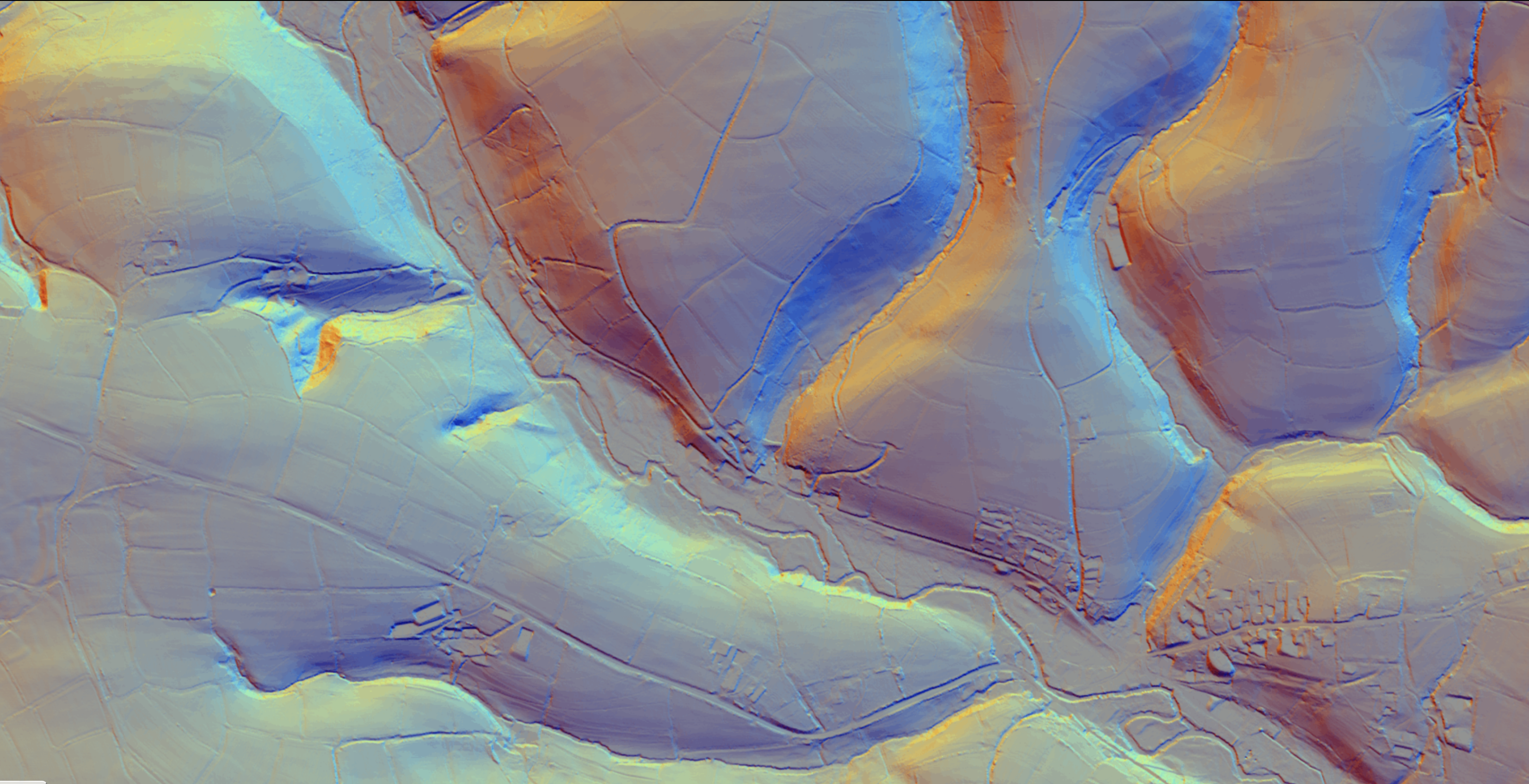
In Exford, the constriction is the bridge and – to an important degree in moderate floods – the culverted channel. While the rate of flow is determined by how hard it rains and how quickly that rain skims off Exmoor. Stripping all the vegetation out of the channel in Exford would make a tiny difference in a big flood, but it would make a big difference to the habitat, day to day.
And it’s not just the middle of Exford that the concerned farmer wants to be cleared. Elsewhere he argues that the Environment Agency should be “maintaining” the rivers everywhere, by which he seems to mean old school dredging them and clearing: works that would actually accelerate the rate of flow towards Exford. It’s such a challenge trying to show that traditional ways of “controlling” flooding can often make the flooding worse, if they hurry the rate of flow from hills to the sea. There will always be constrictions, so what you really want to do is slow the rate at which water meets them and flatten the peak off the discharge.
I totally understand the anxiety. I know Exmoor well, especially the River Lyn which infamously flooded with deadly violence in 1952. That flood was caused by Biblical rain – 9 inches in 24 hours – that brought with it landslips, debris and trees: these jammed at the various bridges along the river, backing up the torrential flow, until each one burst in turn, sending waves of water down the steep valley. In Lynmouth itself the culverted river channel filled with debris and broke out into the town.
Events like this are not prevented by regularly stripping bare all the habitat that enables trout and salmon to exist. This farmer cares deeply, but thinks the answer is a long reach excavator. It isn’t. There’s definitely a case for making sure the middle of Exford is not a pinch-point and in an ideal world one might think about that bridge. But if I was a concerned resident of Exford, I’d be looking upstream at the ways in which the river and tributaries have been modified over the years and how we might make the landscape more absorbent and slow the rate of run off.