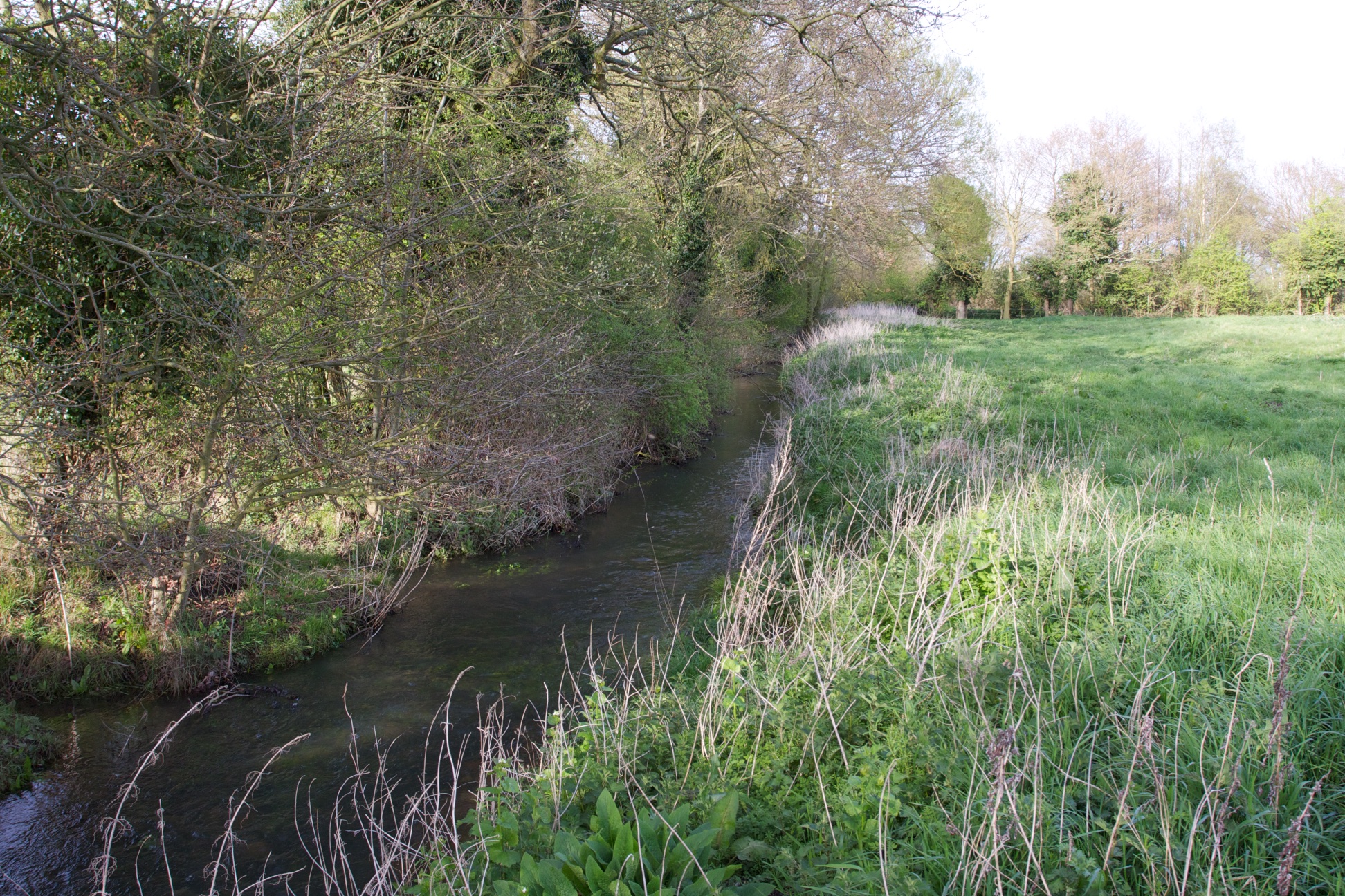
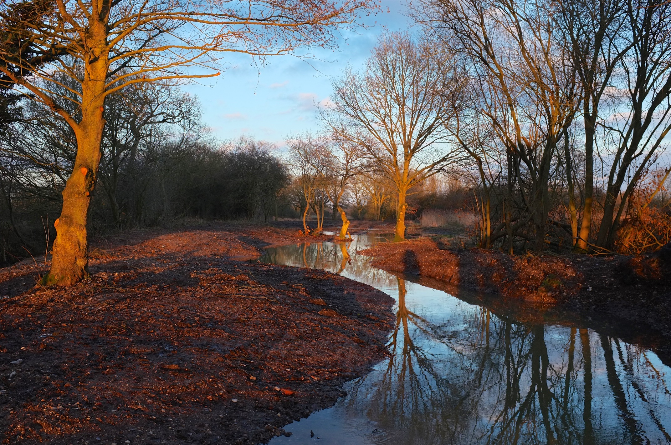
Where Have All Our Rivers Gone?

DSCF1154

Two weeks ago WWF called and asked if I would get them some new pictures of drying chalk-streams. They wanted to update the campaign we started several years ago, “Rivers on the Edge”. The pressure exerted by people on our natural resources is well illustrated in the quiet and mostly ignored death of a chalk-stream. How we build our world to allow room for nature and people could not be more relevant. But memories are so short: if it’s raining outside there’s no point talking about a drought or drying rivers, just as if it’s not raining there’s no point in talking about upland land-management and flooding! Photographs are sometimes all you have the keep the argument alive. Here’s a link to the album of images.

I have in my bookcase a 1946 series of OS maps that show the open countryside, small market towns and blue ribbons of chalk-rivers around north and north-west London: rivers that were once famous for their trout fishing and wildlife. Now the landscape is very different: Hatfield, Stevenage, St Albans, Welwyn Garden City have grown like spots of mould on jam, merging at the edges to become one unbroken belt of semi-rural suburbia. The chalk-streams that thread through them are hardly there anymore. Almost everywhere I stopped on my Dante-esque tour trying to photograph an absence (of a river) the most palpably present thing was a pumping station. You wouldn’t notice them till you start looking. When you do they are everywhere: eyeless brick huts, with bolted iron gates and a water company sign warding off trespassers … which is ironic given how the tendrils beneath each apparently innocuous building are trespassing way beyond their surface boundaries.

DSCF1276

No-one realised in the 1940s and 50s, when these pumping licences were issued that the chalk aquifers were not infinite. Nor quite how far and how fast the population of south-east England would grow. People have to live and their water has to come from somewhere. Chalk aquifer water is pure and cheap …. so long as you don’t count the cost illustrated in the photographs I took.

DSCF1328

A few years ago when making a short film about these drying rivers for WWF, I asked everyone I could about what their local river meant to them and how they would feel if it dried up because of public water-supply abstraction. Universally the thought was an abhorrence. Rivers are cathartic and life-giving, places to relax and unwind and enjoy some peace and quiet or to play with the kids or the dog. Not around the Home Counties they’re not. To be clear: without abstraction chalks-streams like the Chess, Beane and Mimram would not dry up for mile after unbroken mile … even in a drought. They are not winterbornes, except in their very headwaters.

The only way out of this singularly silent natural disaster is to count the cost to nature of the water we take so cheaply from the ground. The government and OFWAT must allow / compel water-companies to develop alternative sources and we must stop using water without a thought for where it comes from.

DSCF1267

An alternative to dredging?

I’ve written about why dredging doesn’t work. Here’s a post about an alternative approach: a “re-wilding” project on the River Nar which I recently designed for the Norfolk Rivers Trust. For the installation work we worked with Five Rivers.

The River Nar is a chalk-stream, so it doesn’t flood with anything like the ferocity of those rivers now raging in the north of England. Even so, the principles of what we did here apply anywhere.

Back in the Napoleonic era French prisoners-of-war changed the upper River Nar from a meandering wetland, spring-creek into a drainage ditch. They straightened it and entrenched it deep into the land. They did this to drain what was a naturally wet, spring-soaked landscape and turn it into more useful agricultural meadow: to take water away more quickly.

IMG_9951
The Napoleonic ditch – arrow straight and entrenched by over a meter into the flood-plain. Flowing hard after rain …
_DSF5326
… and almost dry after a few weeks without rain: showing that, if you furrow a floodplain with ditches you make it less able to hold water.

Some time later the valley above the natural head of the river was also drained in much the same way. This time, instead of entrenching a river, the drainers cut a deep furrow into the wet ground in the hollow of the valley and created a few extra miles of running ditch.

IMG_9937
A headwater ditch, draining the landscape above the river.

Chalk-streams are naturally very equable: because the chalk hills that surround them are absorbent the rivers should not respond that quickly to rain and naturally take much longer to dry or run low when there’s no rain. But this drainage work turned the River Nar into a “flashier” stream, flowing off quickly when it rained and drying up quickly when it didn’t.

This is an example of what we have done to our landscape everywhere. Even relatively impervious catchments (with harder rocks than chalk) like the ones in northern England were once far more absorbent, capable of holding more rain than they can now, meaning that their rivers responded more slowly to high rainfall, with softer rises and falls, and with lower peaks and higher troughs of flow.

With the Norfolk Rivers Trust and sponsored by WWF UK and the Norfolk Rivers Drainage Board I have been working on a project to ‘re-wild’ parts of the upper River Nar, re-creating the lost, meandering channel, raising the water-table and reuniting the river with its flood-plain.

Untitled
Part of the plan for the re-wilded river: the old ditch is red, the new stream is blue.

The photos below cover only a 1.5 km section of the river … but if the water-table is now 1 meter higher than it once was and the flood-plain is a couple of hundred yards wide it doesn’t take a genius to appreciate how the aquifer is now capable of storing much more water.

To say nothing of how the river channel is now about 50% longer and has a channel shape that allows excess flows to spill over the lower banks into a wider high-flow channel and finally – when flows are really high – across the flood-plain itself.

The flood-plain is the natural relief valve for a flooding river. It is empty of water until the time it is needed, it can absorb a massive amount of extra water (thousands of times more volume than a dredged channel) and it drains slowly, taking the dangerous peaks off heavy flows downstream.

The answer to flood management is to re-discover our flood-plains, and incentivise farmers to facilitate a more enlightened approach system of flood-water management.

DSCF5546
The new “re-wilded” stream is dug.
DSCF7324
After rain in mid-winter.
DSCF9178
One year later. Looks like it’s been there for ever. Which it has, apart from a 200 year interlude in a ditch.
DSCF5597
Late autumn 2014. The old ditch runs along the tree-line to the right.
DSCF9173
Same view December 2015.
DSCF0377
After heavy rain winter 2014 – holding water the old ditch sent downstream in a hurry.
DSCF9182
Winter 2015. The new stream crosses the line of the old ditch, but one meter higher, looking like a stream again and re-united with a functioning flood-plain.

Trees in Rivers

_DSF4010
2013
DSCF5440
2014

Monday morning 4th August and the next phase in the restoration of a small Norfolk chalk-stream begins. 3.5 km in two months, all being well.

Last year we (the Norfolk Rivers Trust working with Cain BioEngineering) took on a similar length – 3.5 km of straight and over-wide channel and did our best to replicate in two months what would have taken hurricanes and beavers (if we had them) two hundred years. You’ll get the idea from these before and after pictures: we felled trees and used them to rebuild a more natural, meandering channel.

It sounds simple enough. But why bother? Over the centuries chalk streams have been straightened, deepened and widened: for milling, for navigation, to construct water-meadows (a 17th Century technique for boosting farm productivity by flooding the floodplain) or to make them into drains (a 20th century technique for boosting farm productivity by draining the floodplain). The cumulative impact of all this modification has been to change our chalk-streams from the naturally meandering rivers they once were into uniform, over-wide and over deep canals.

Using trees to rebuild the meandering, low-lying riverbanks that a chalk stream should flow within brings a host of improvements to the habitat and eco-system. In the restored channel the water flows more quickly. The swifter flows scour the bed of stream so that there is clean gravel instead of deep mud. The faster flows favour weeds like ranunculus and starwort which help maintain a cleaner river, and provide better habitat for fish and insects. Along the shallow, wet margins reeds and grasses flourish and these also provide habitat for insects, birds and mammals. Selectively felling trees helps too, especially in the sort of semi-commercial forestry that borders a lot of our rivers: the ideal is the dappled sunlight and shade you’d find in a natural, mature flood-plain wood.

Altogether this carefully choreographed imitation of a small hurricane can absolutely transform a chalk stream, as these photographs show. The changes illustrated here have taken less than a year to evolve. In five or ten years the woody banks will have disappeared beneath trapped silt and vegetation and flowing through the middle will be a smaller and much healthier river.


DSCF5056
2013
DSCF5437
2014
DSCF5062
2013
DSCF5439
2014
_DSF4966
2013
_DSF5333
2014